
Interactive Community Map
Explore all Carriage Hill amenities, fishing ponds, walking paths, entrances, and nearby community resources using the interactive map below.
🐟🟢 Fishing Permitted
🐟🟡 Limited Fishing
🐟🔴 No Fishing
🎣 View Fishing Rules PDF
🐟🟡 Limited Fishing
🐟🔴 No Fishing
How to Use This Map
Click any marker
View details for amenities, ponds, entrances, and community areas.
View details for amenities, ponds, entrances, and community areas.
Fishing ponds
🟢 Permitted
🟡 Limited
🔴 No Fishing
🟢 Permitted
🟡 Limited
🔴 No Fishing
Walking paths
Green lines show community walking and golf cart paths.
Green lines show community walking and golf cart paths.
Community areas
Amenities, recreation areas, and entrances can be selected directly.
Amenities, recreation areas, and entrances can be selected directly.
Zoom & explore
Use the map controls to explore the neighborhood.
Use the map controls to explore the neighborhood.
Carriage Hill Community Association
Community Map & Street Directory
A quick reference to Carriage Hill's streets, amenities, ponds, bridges, and shared community spaces.
572Homes
15Ponds
5Bridges
25Community Streets
Community Street Directory
Tip: Click any street name below to open its location in Google Maps in a new tab.
A – C
H – N
P – S
About Carriage Hill
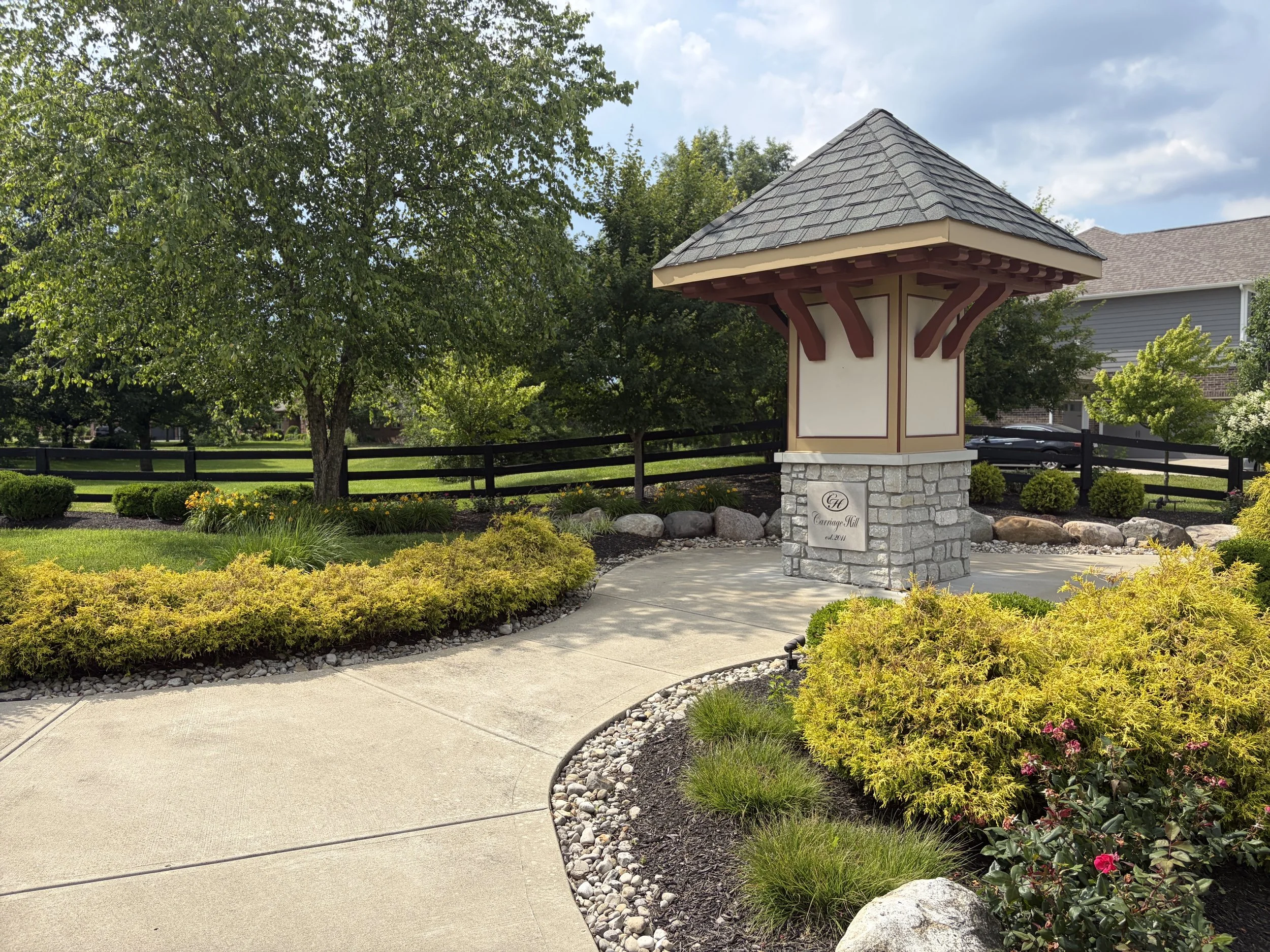
Carriage Hill is one of Liberty Township's premier planned communities featuring scenic ponds, green spaces, walking paths, and a wide variety of resident amenities including the Family Pool, Adult Pool, Carriage House, Terry Gatehouse, Dog Park, Basketball Court, and fishing access areas.
Did You Know?
Many Carriage Hill street names reflect the community's equestrian heritage, with names inspired by horses, racing traditions, carriages, and thoroughbred culture.
Many Carriage Hill street names reflect the community's equestrian heritage, with names inspired by horses, racing traditions, carriages, and thoroughbred culture.